
AERIAL IMAGING TECHNOLOGY
Precision Agriculture
The Future of Farming
PRECISION AGRICULTURE
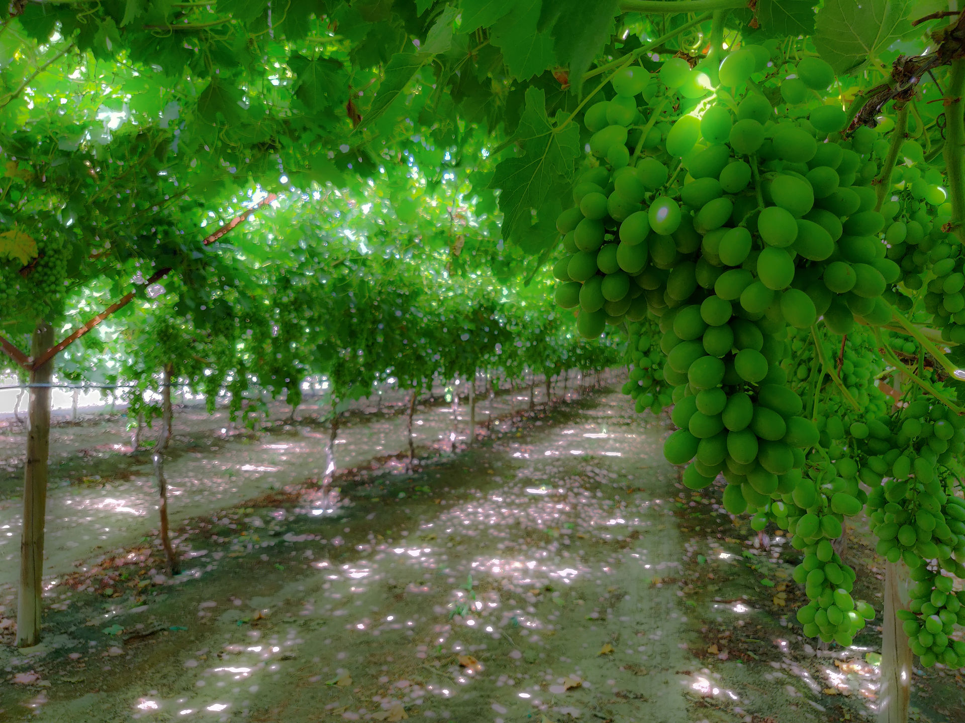
Aerial imaging of crops, using multispectral sensors, gives farmers the information they need to understand and act efficiently towards changes in the health of their tree and row crops. Our aerial imaging services provide detailed information into the current and future health of your crops, to ensure maximum yield and profitability. We measure and track soil condition, fertilizing, irrigation, insecticide and fungicide applications, pest infestation
monitoring, plant count, weed count, and much more!

Your Crop Health ....
Common Applications:
-
Drainage assessments
-
3D Terrain site mapping
-
Spray drift tracking
-
Pest outbreak detection
-
Soil erosion
-
Soil compaction
-
Soil moisture
-
Water management.
-
Field residue
-
Off-season field management
-
Micro-nutrient applications
-
Hybrid yield/growth trials
-
Canopy coverage & density
-
Plant counting
-
Frost damage detection
-
Crop rotation optimization
-
Comprehensive crop health analysis


Our Imaging Benefits:
-
Precisely locate pests, disease, and weeds
-
Optimize and reduce pesticide usage and other crop applications through early detection
-
Reduce fertilization usage by implementing our field prescriptions into your variable rate application system.
-
Provide soil fertility data and refine fertilization by detecting nutrient deficiencies
-
Determine accurate plant count and spacing issues
-
Estimate crop yield
-
Measure and control crop irrigation by identifying areas where water stress is greatest
-
View damage to crops from equipment
-
Survey fencing and farm buildings.
-
Immediate deliverables*
*Most data delivered not later than 48 hours after capture complete.

Reporting and Deliverables:
-
Full color NDVI and NDRE health maps
-
Understand your plant stress by exploring the different vegetation indices.
-
Export formats: GeoTIFF
-
-
Vegetation index maps
-
Green Band 500-600 nm
-
Plant chlorophyll levels
-
-
Red Band 600-700 nm
-
Plant/Soil contrast
-
-
Red Edge Band 700-730 nm
-
Crop health analysis
-
Plant counting
-
Water management
-
-
Near-Infrared Band 700 nm - 1.3 um
-
Soil properties and moisture analysis
-
Crop health and stress analysis
-
Water management
-
Erosion analysis
-
-
-
Orthomosaic
-
An intuitive representation of your field that helps you identify issues faster.
-
Digital scouting, crop protection, insurance
-
Export formats: GeoTIFF
-
-
Digital surface model
-
Get more detail about your irrigation variability and pinpoint erosion prone areas with an elevation model of your field.
-
Irrigation and erosion control
-
Export formats: GeoTIFF
-
-
Prescription maps
-
Assign application rates for use in Variable Rate Application Maps.
-
Export formats: Shapefile, KML, GeoJSON
-
Interested in our services? Request a rapid quote today!

